Intertidal Coastal Sediment Transport Research Unit:
Sediment Characterization
Grain size of particles by electroresistance
Organic Content
Bulk density
Hydrographic Surveying
River Discharge Measurements
Water velocity measurements
Suspended sediment concentration measurements
Maritime Provinces Spatial Analysis Research Centre:
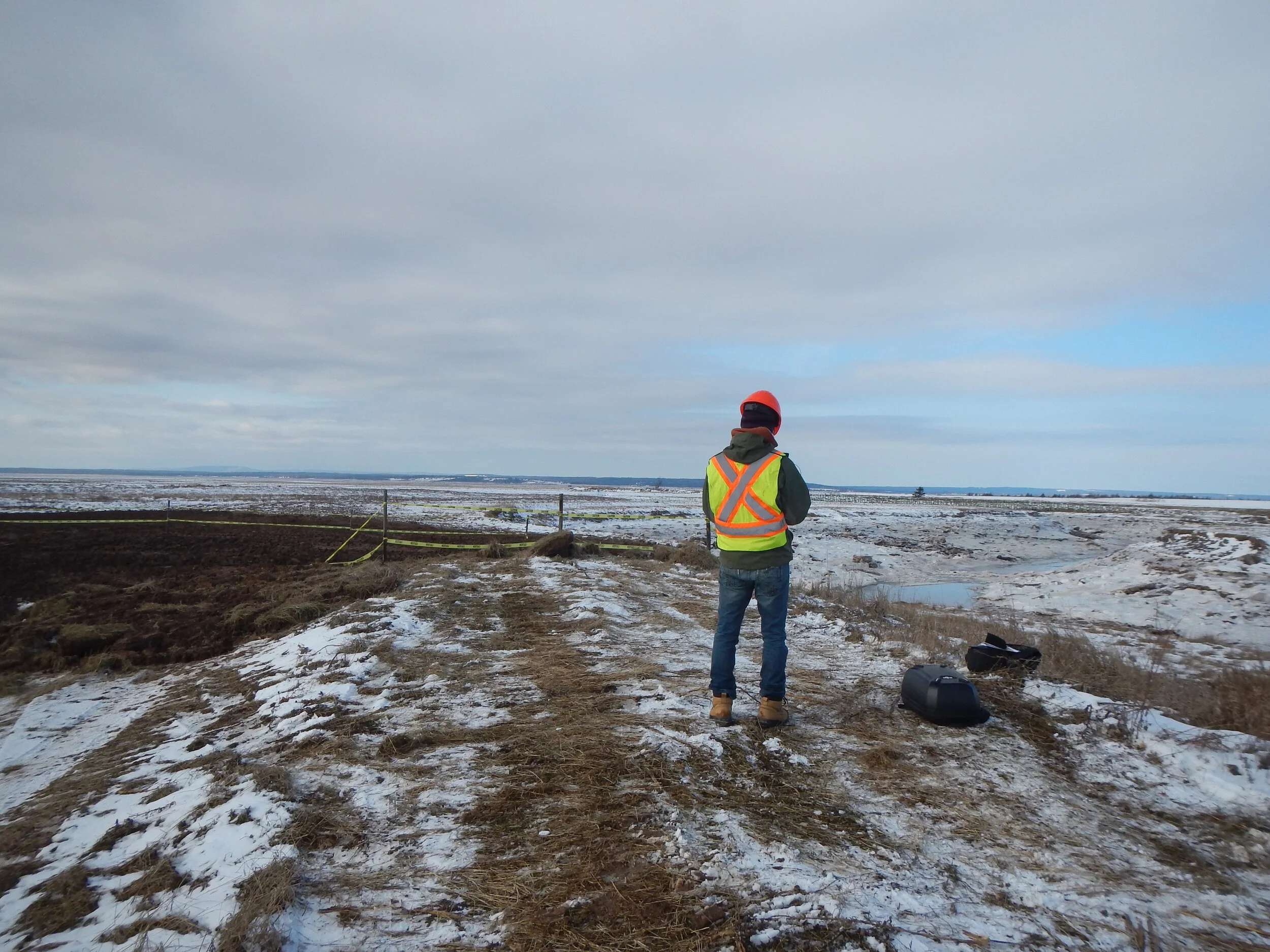
Topographic Surveys by Total Station
Topographic Surveys by GNSS
Near-Surface Geophysical Survey by Electromagnetic Terrain Conductivity Meter
Low-Altitude Photography and Videography by Remotely Piloted Aircraft
Software Processing with specialized Geographic Information Systems, Remote Sensing, and Photogrammetry software
Map and Poster Wide-Format Plotting
Wide-Format and Flatbed Scanning